Sea-Kayaking, part I
Guest Contribution by Sarah and Peter
Small Cyclades, March/April 2014, 4 Days
Distance/Route: approx. 130 km: Azalas (Naxos) – Panormos – North-Schinousa – Heraklia – South-Schinousa – Keros – Kato Koufounisi – Pano Koufonisi – “Stone Island” – Azalas
Wind: April and May are usually the least windy months. In winter storms are quite frequent, while summers typically have north winds of 5 to 6 Beaufort. Due to frequently changing wind conditions, route planning must be done last-minute. During our tour, winds changed direction daily. Good forecasts are available, but between the islands, turbulence often alters wind directions. Experience with open-sea crossings is essential for this tour.
Map Material: We use hiking or cycling maps at scales of 1:40,000 or 1:25,000
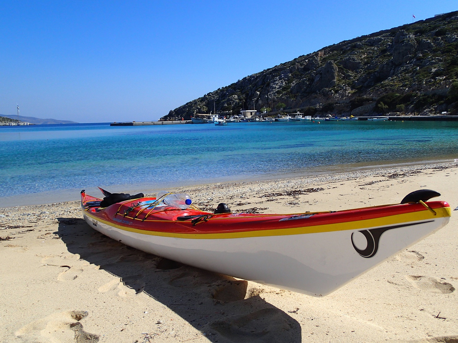
We start at our “home beach” with Astrid in Azalas and head towards Cape Stavros. The north wind of 3 to 4 Bf pushes us along the east coast to Panormos with beautiful surf waves.
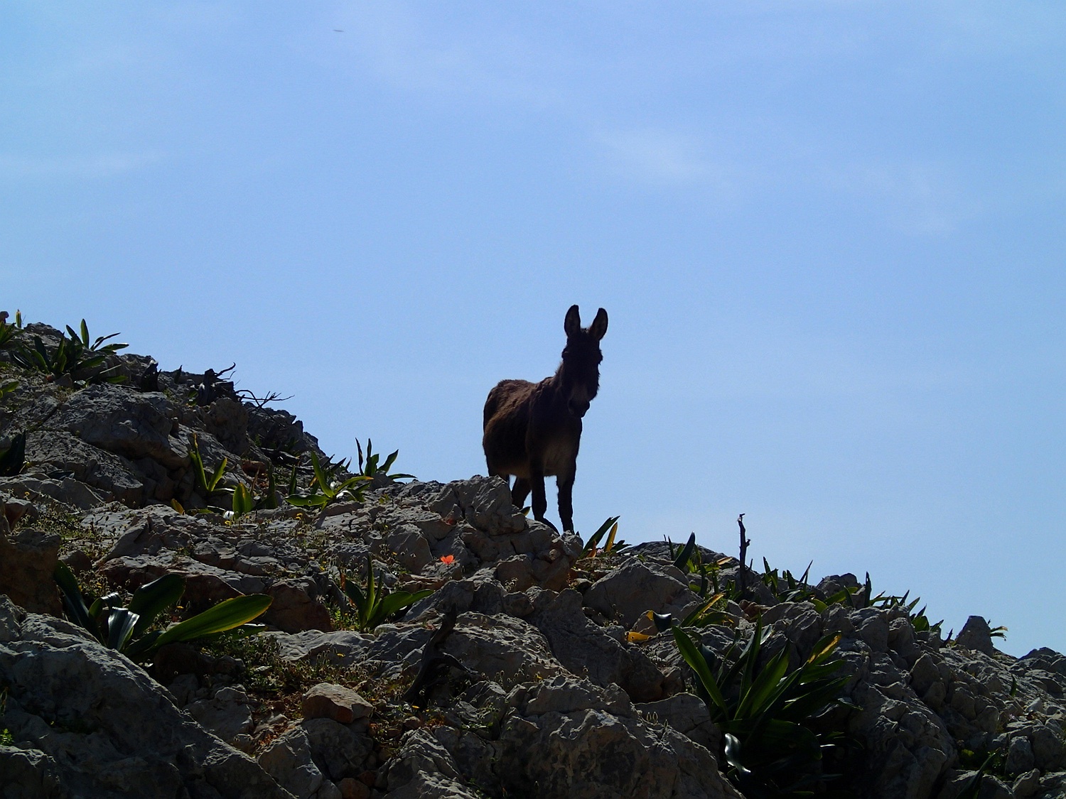
At the sandy beach of Psili Ammos, one of the few on this coast, we make our lunch break. The coast presents itself quite wild and deserted, only a few goats are watching us.
We spend the night at the beach at Andrios on the south coast of Naxos. The next morning, on our first crossing of this tour, we aim for the highest point of Schinousa Island and paddle south.
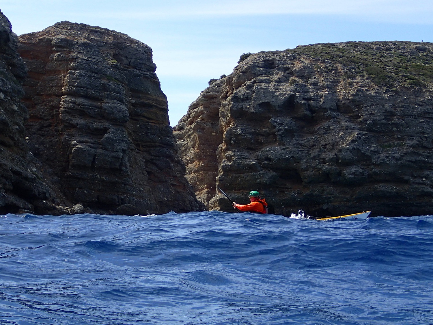
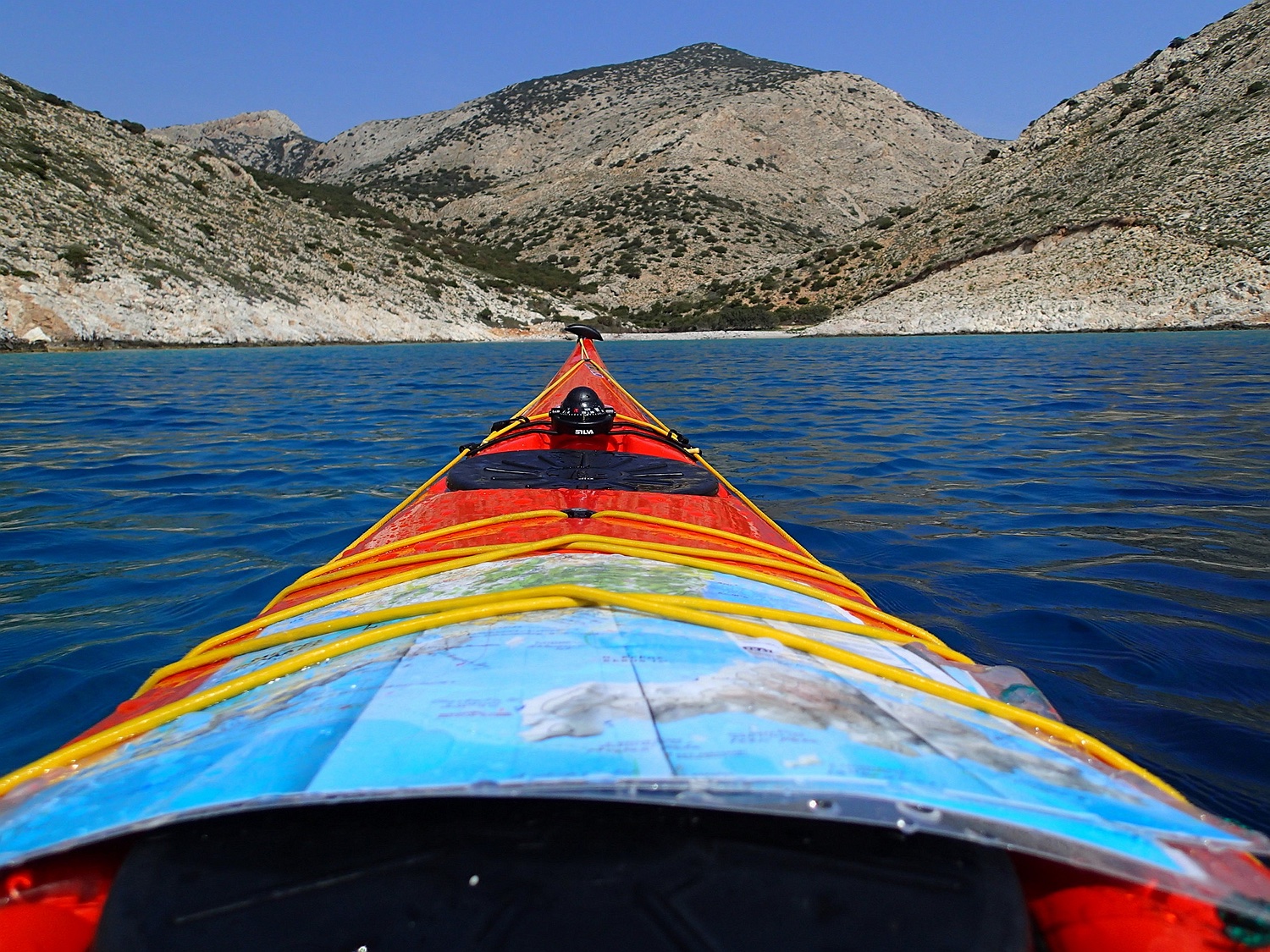
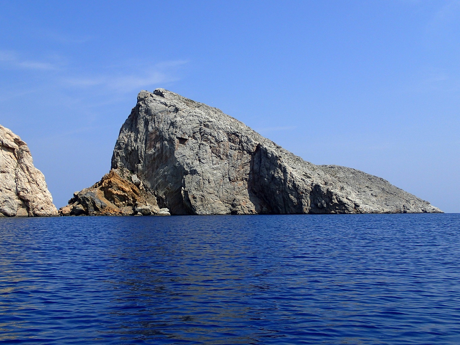
From the north coast of Schinousa, we head southwest towards the bay of Kato Choria on the island of Heraklia. After visiting the friendly town, we circumnavigate the island counterclockwise to the Bay of Vales, from where we embark on the third crossing to the southern tip of the island of Fidhousa, south of Schinousa.
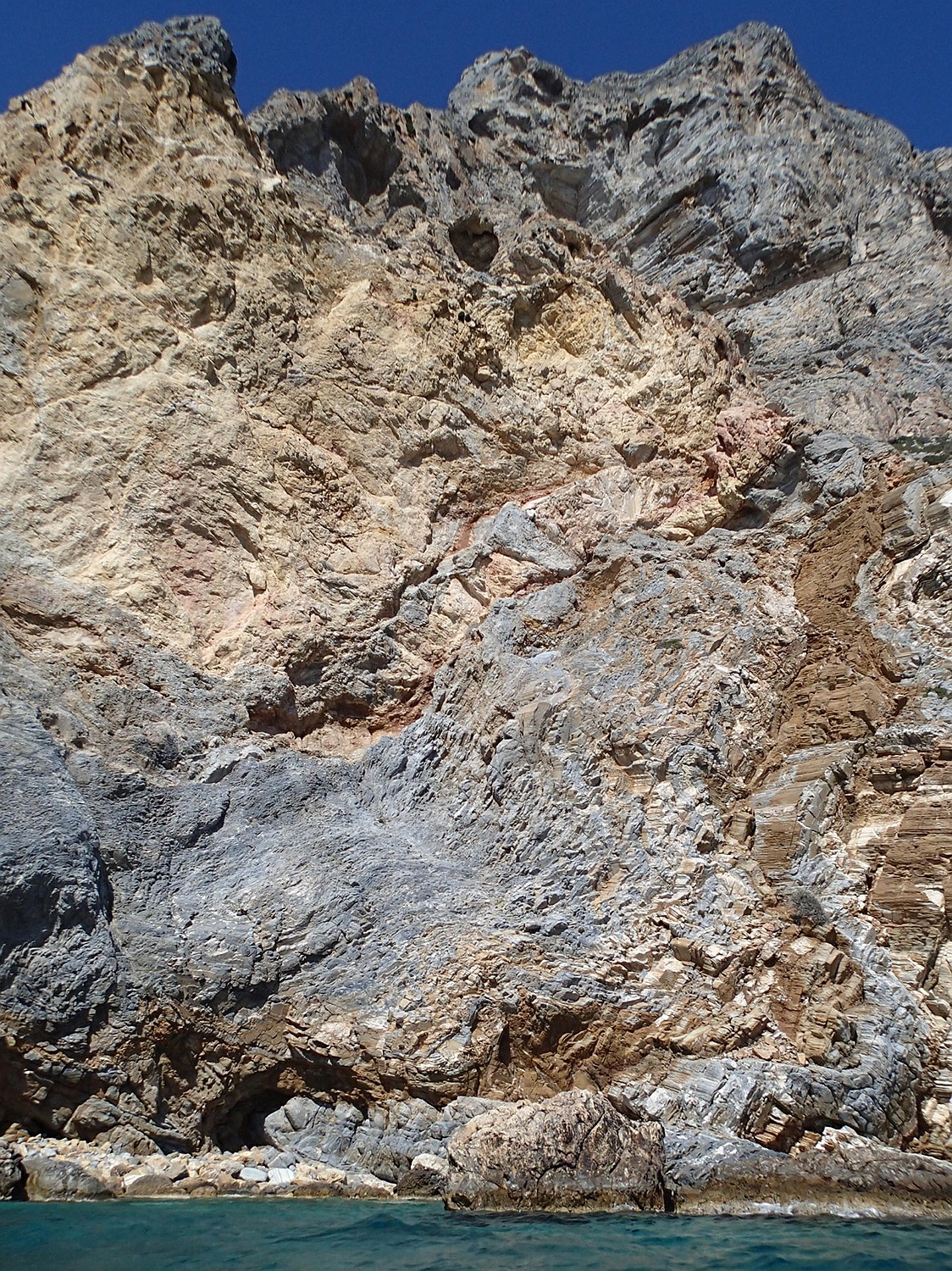
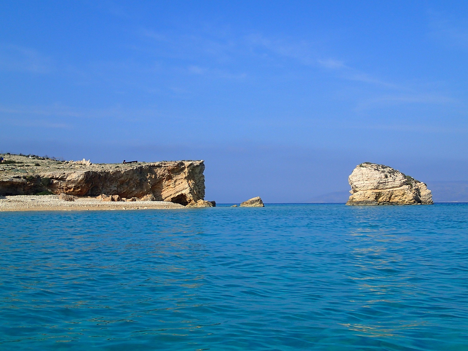
The southern coast of Heraklia impresses with its steep cliffs.
Southern coast of Heraklia; Fidhousa visible in the background to the right.
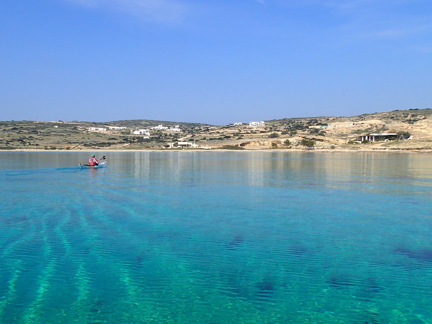
In Schinousa, civilization reappears with holiday homes and taverns along the numerous beaches, mostly empty at this time. We stay overnight in the Bay of Bazaios at the southeast end of Schinousa. On the third day, in calm weather we set off from Cape Almyros (southeast of Schinousa) for the next crossing. Our aim is the southwest coast of Keros, a natural, mountainous island without inhabitants.
in Poulia Bay, South Keros
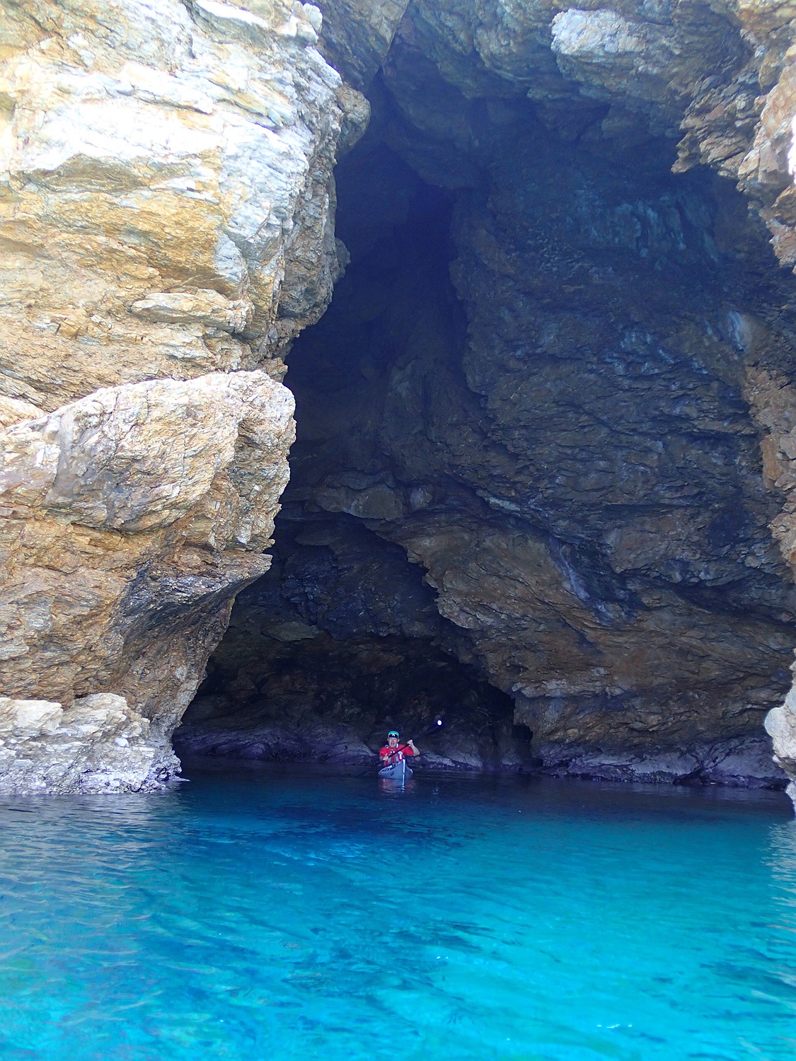
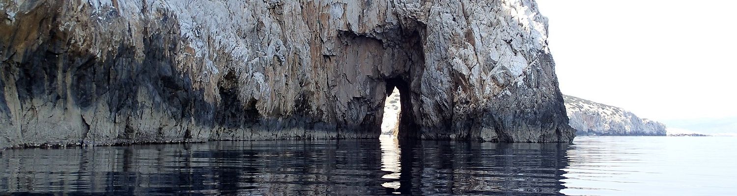
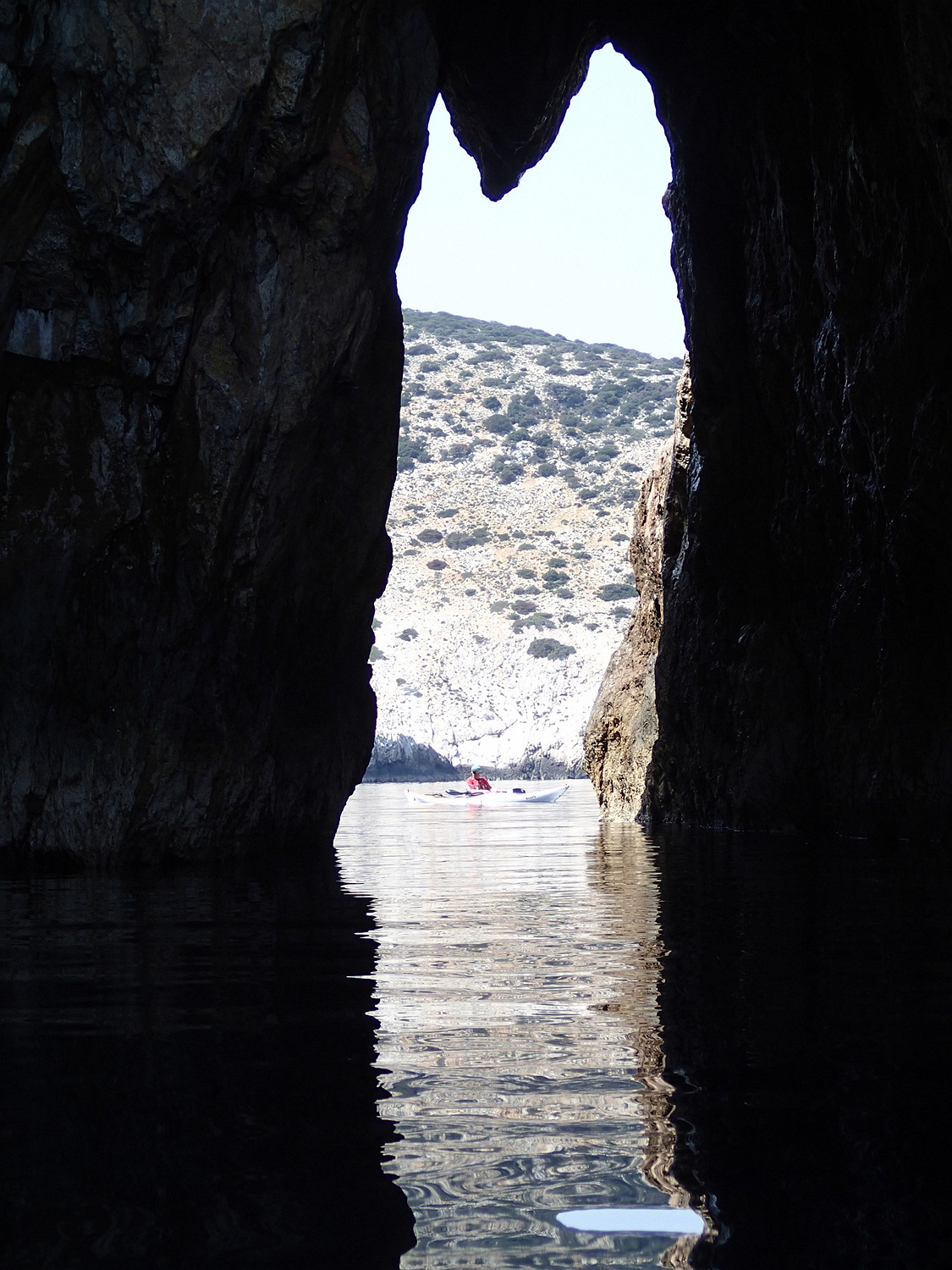
On the east coast, we encounter several caves. One is already occupied by a monk seal… we quickly reverse to avoid disturbing it.
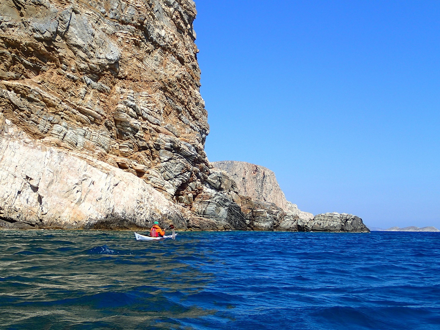
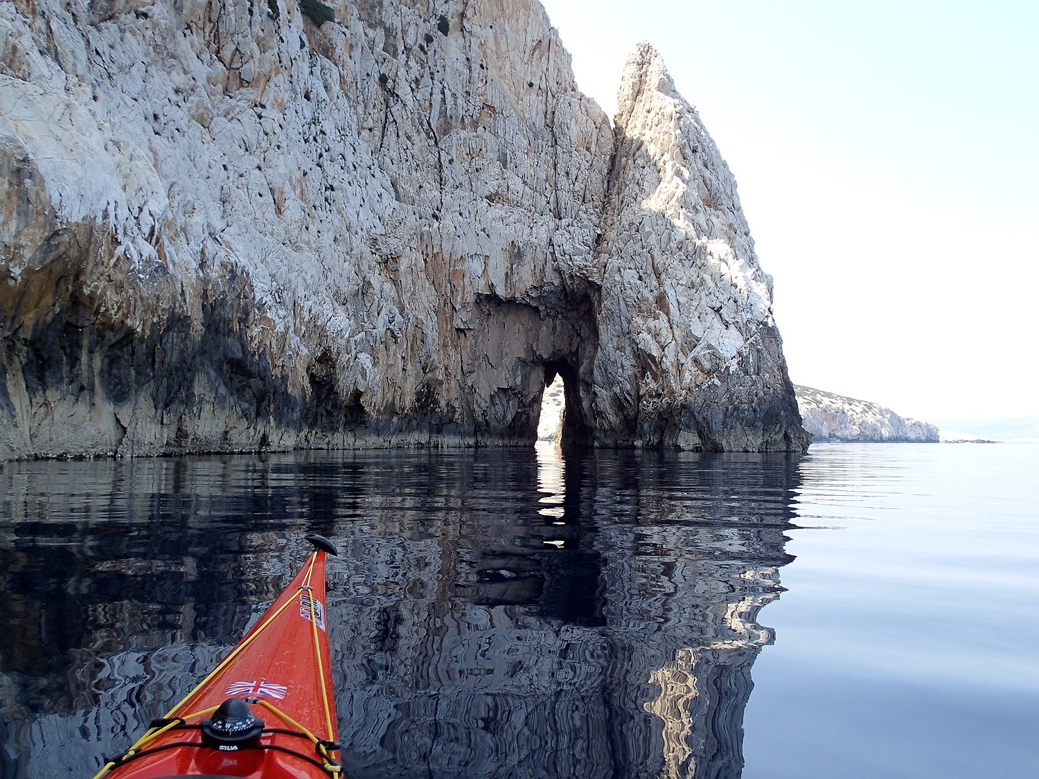
Following are incredible impressions of the high cliffs in the northeast of the island, where we feel tiny at the foot of these cliffs while kayaking. This section is the highlight of the tour in terms of landscape.
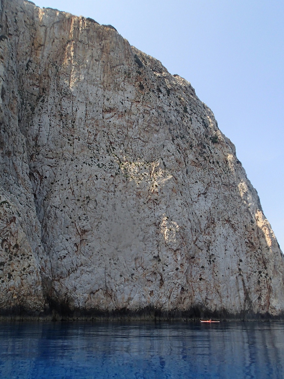
northeast Keros
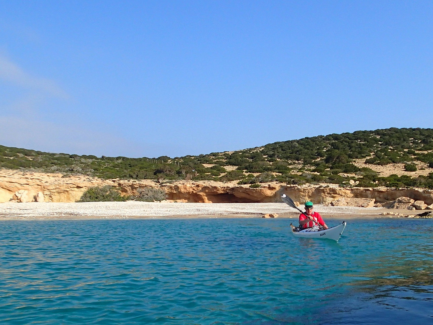
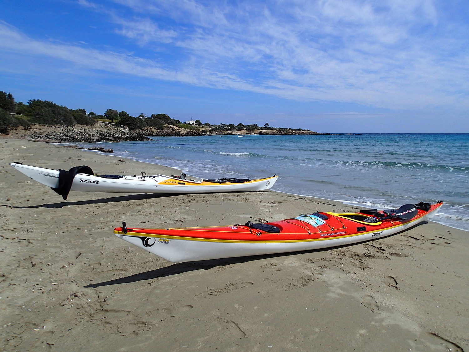
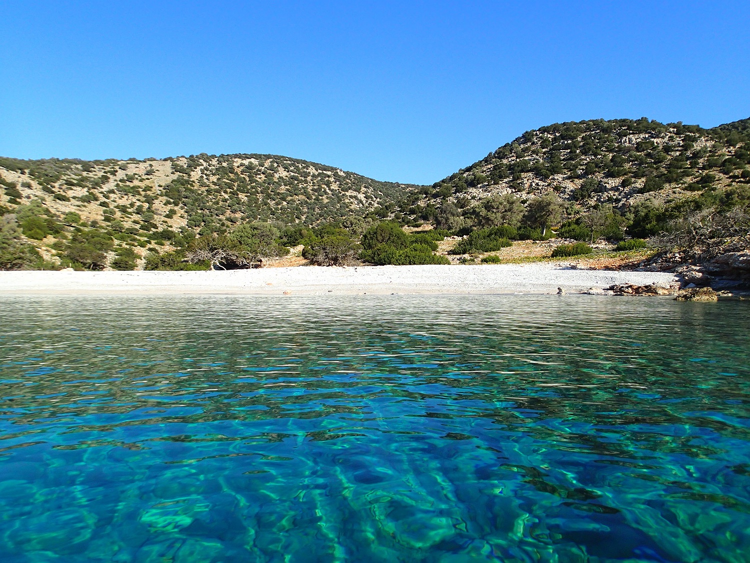
After circumnavigating Keros, Kato Koufonisi is our next destination, where we set up our camp at a beautiful beach in the Dhetis Bay.
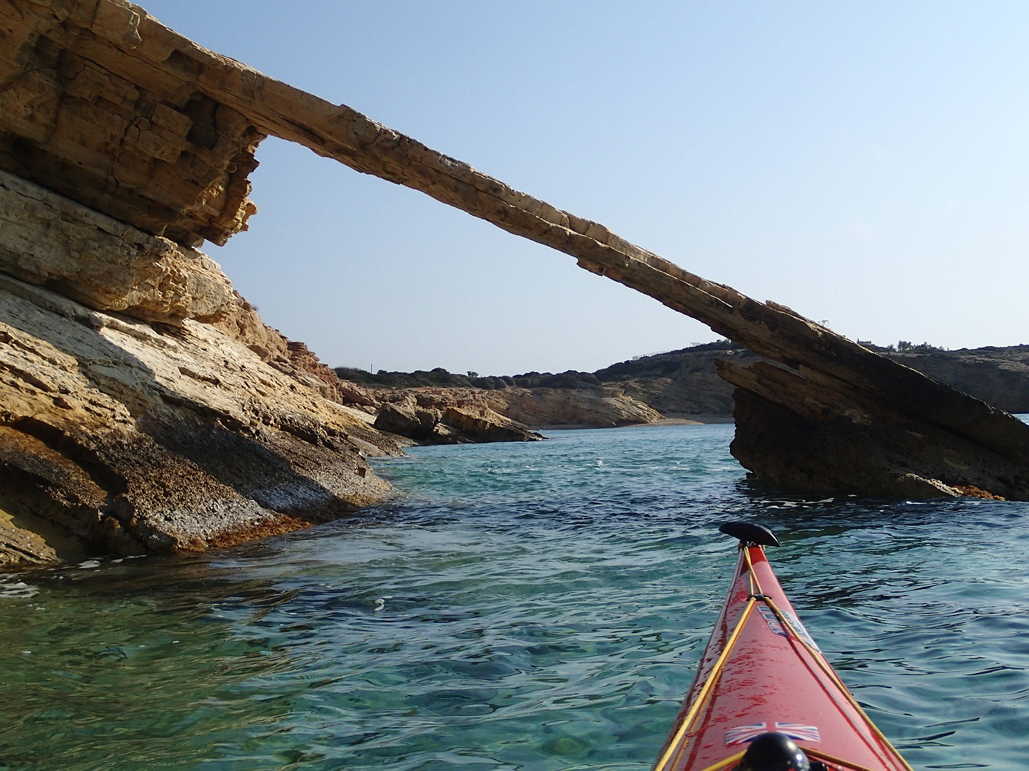
playful rocks in Kato Koufonisi
beach in the south of Kato Koufonisi
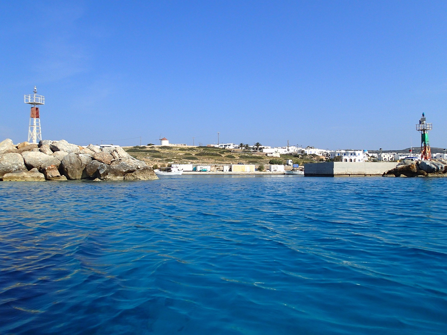
Afterward, we head to Pano Koufonisi, passing through the port and the main town of the island.
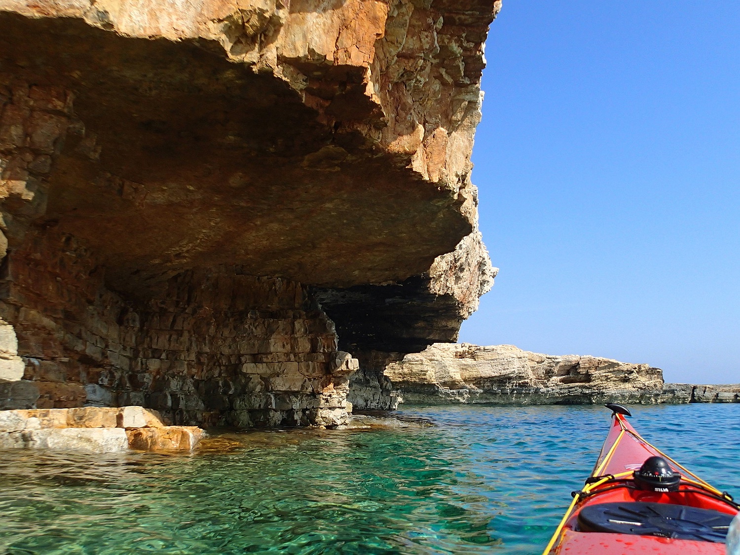
On the east coast of Pano Koufonisi, there are several impressive caves, like here at Mati tou Dhiavolou, and coves. In summer, this area is a popular bathing destination. Today, we are entirely alone here.
The Pori Bay in the north of the island.
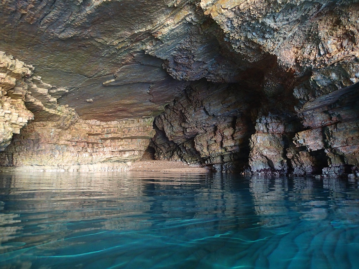
Cave at Xylobatis Bay in the northeast of Pano Koufonisi. Our last island is the small rocky mound (“Kopria”) approximately 4 km northeast of Pano Koufonisi. From there, we navigate back to the east coast of Naxos and follow the shoreline from Liaridhia back home.
Seakayak-Center by Sarah (Switzerland)
continue: Sea-kayaking part II
back:
see also: