Sea-Kayaking, part II
Guest contribution by Sarah and Peter
Paros – Antiparos, April 2014, 3 Days
Distance/Route: approx. 110 km: From the west coast of Naxos clockwise around Paros and Antiparos
Wind: April and May are usually the least windy months. In winter storms are quite frequent, while summers typically have north winds of 5 to 6 Beaufort. Due to the frequently changing wind conditions, route planning needs to be done on short notice. During our tour, the winds changed direction daily, requiring flexibility and confident paddling, especially amid the reflected waves off the cliffs. Experience with open-sea crossings is essential for this tour.
Wind/Weather forecasts: www.weatheronline.co.uk = www.windfinder.com = http://www.poseidon.hcmr.gr/
Maps: We use hiking or cycling maps at scales of 1:40,000 or 1:25,000. However, these maps often do not include small beaches.
Ferries/Cargo ships: Large ferries operate on the crossing from Naxos to Paros and in the ports. It’s best to check their schedules and plan routes well away from their paths. Ferries move quickly and do not easily alter course for kayakers.
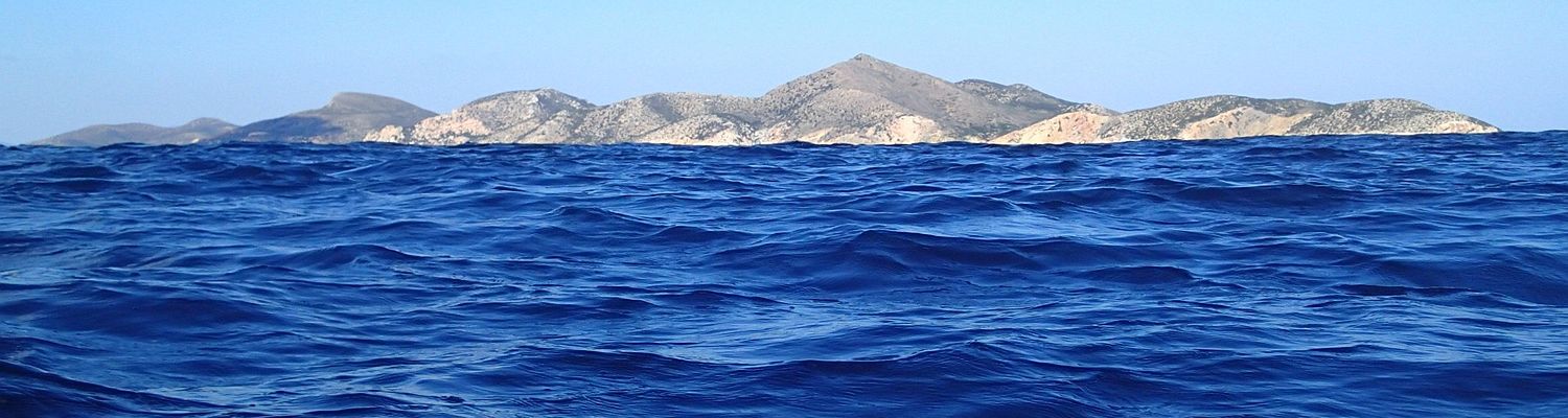
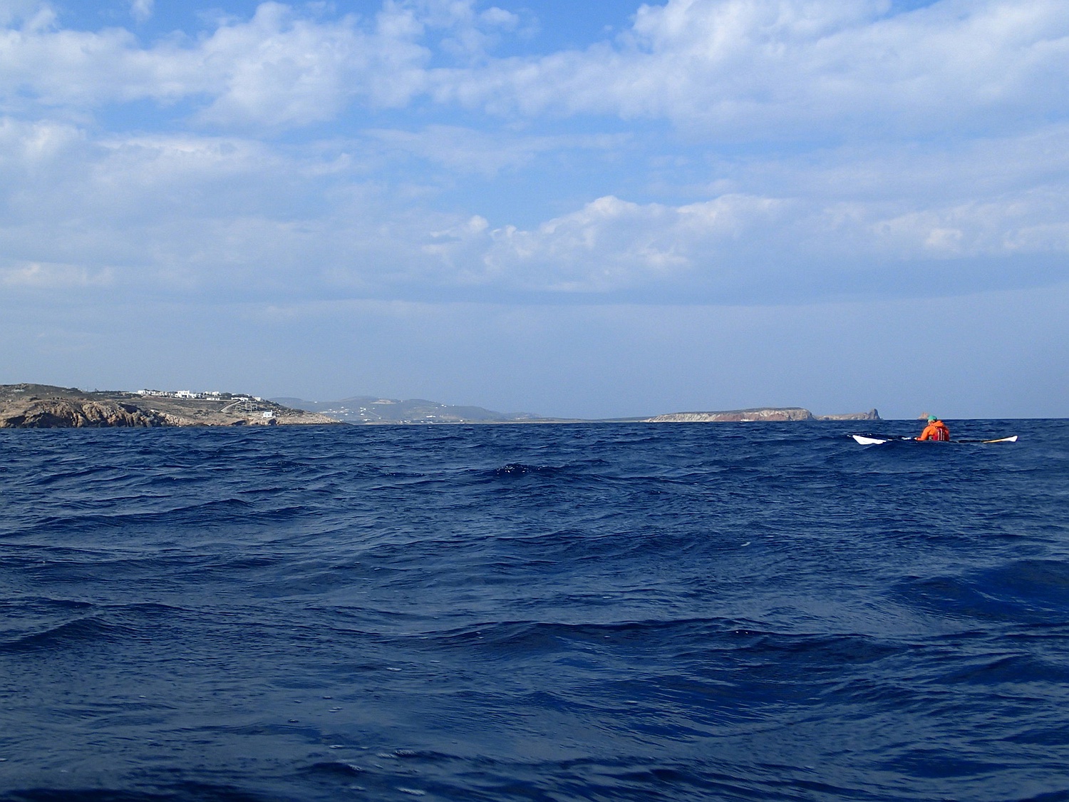
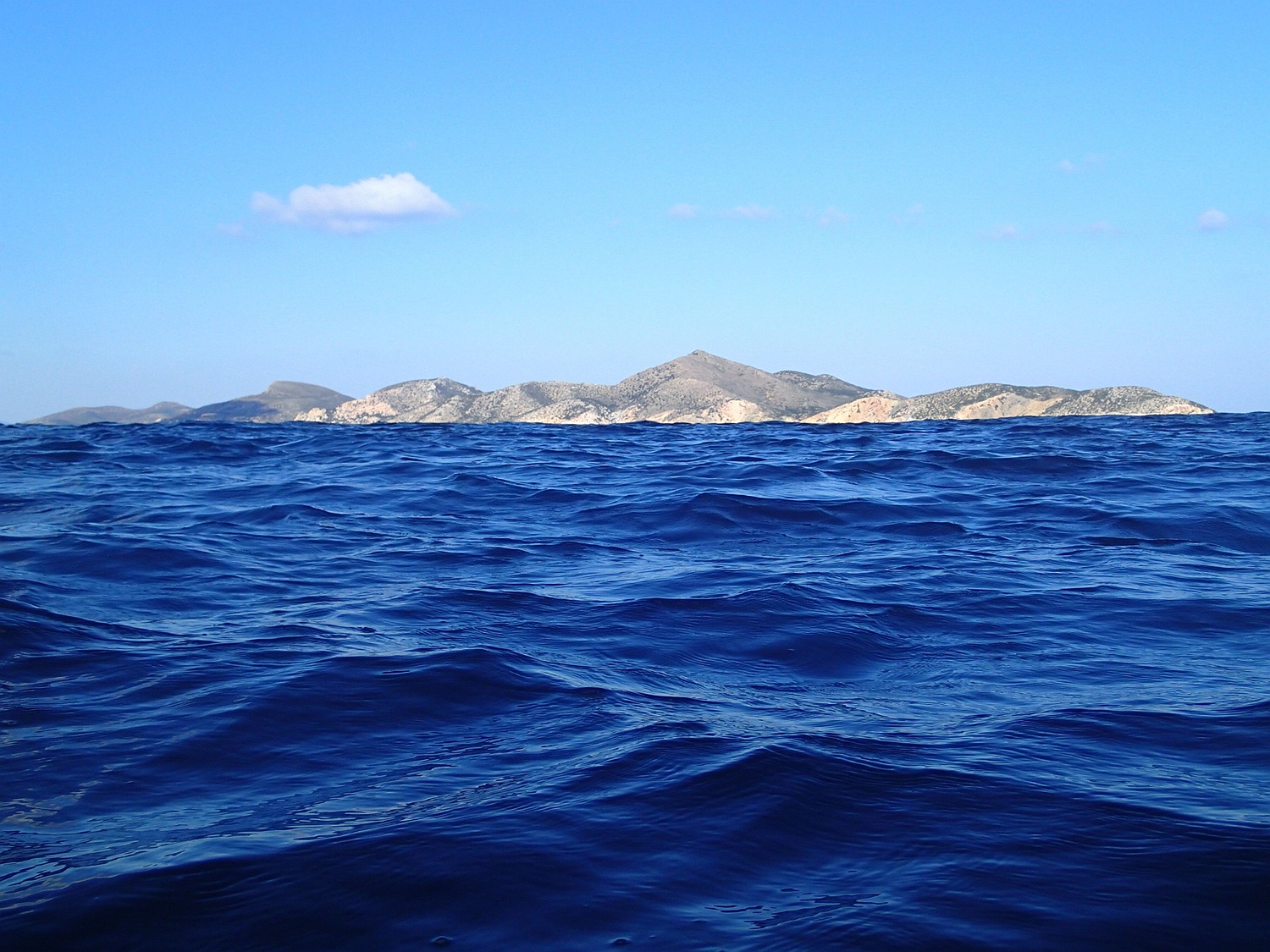
We start in Agia Anna on the west coast of Naxos. At the beach, there is no problem in leaving the car for the three days (in April). We cross about 7 km to the east coast of Paros to Cape Antikefalos. Then we paddle along the east coast of Paros heading north. This morning, we were lucky enough to see dolphins three times! Near Filizi Island, there is just enough water under the keel to allow us to pass over the reef. The northeast tip of Paros around the town of Santa Maria is very scenic.
In the Lageri Bay, there is quite a large settlement around the town of Naousa. We directly cross over to Cape Almiros.
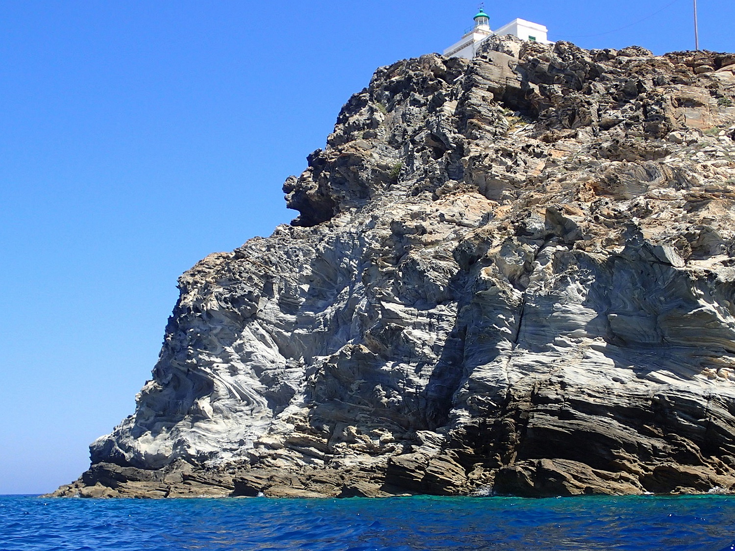
The lighthouse of Cape Korakas in northern Paros can be seen from afar.
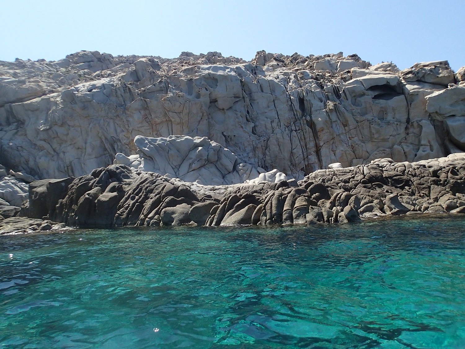
The northwest coast of Paros at Cape Vorinos offers a beautiful backdrop with bizarre rock formations.
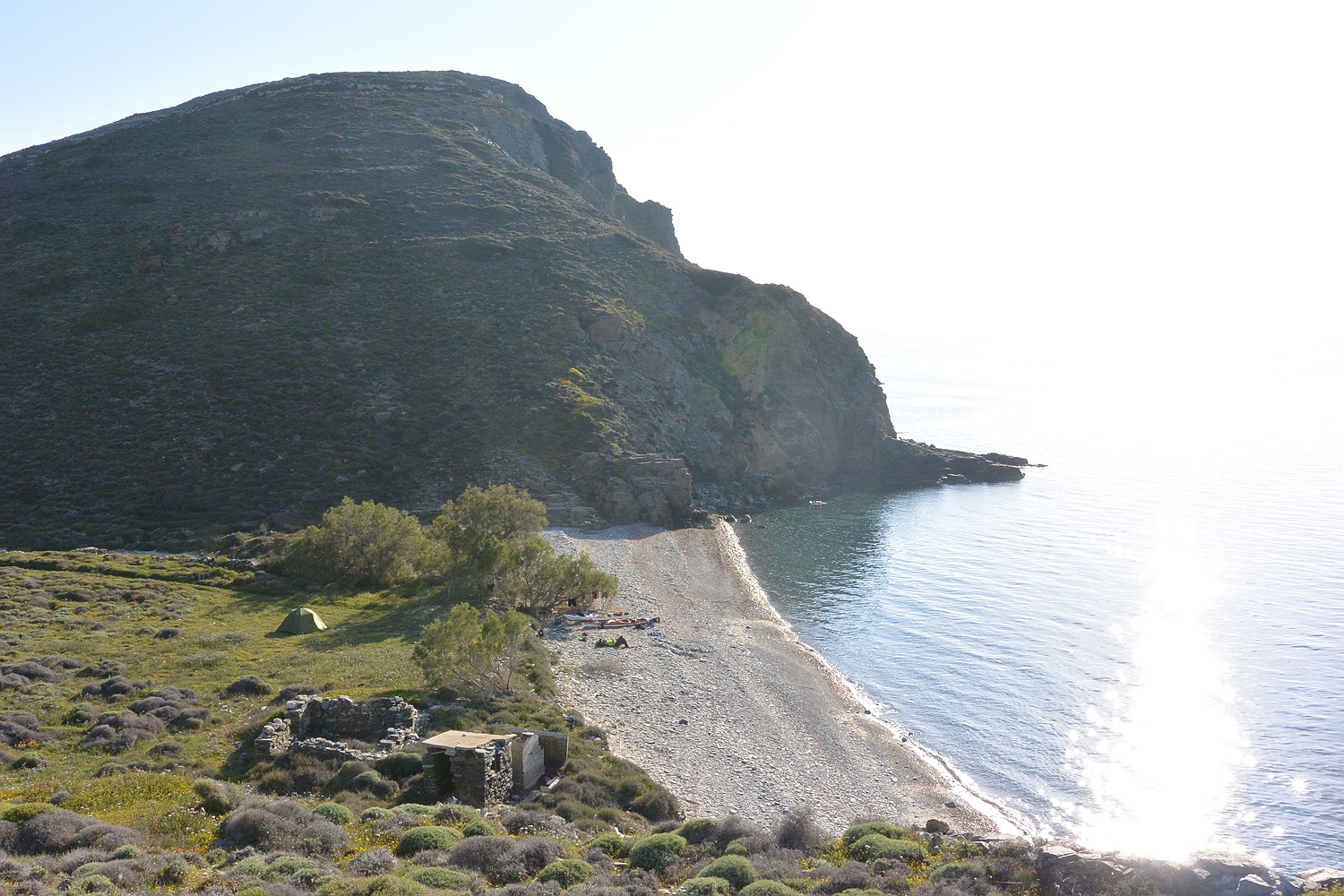
We spend the night on a beautiful pebble beach next to Mount Tilegrafos, enjoying the evening sun.
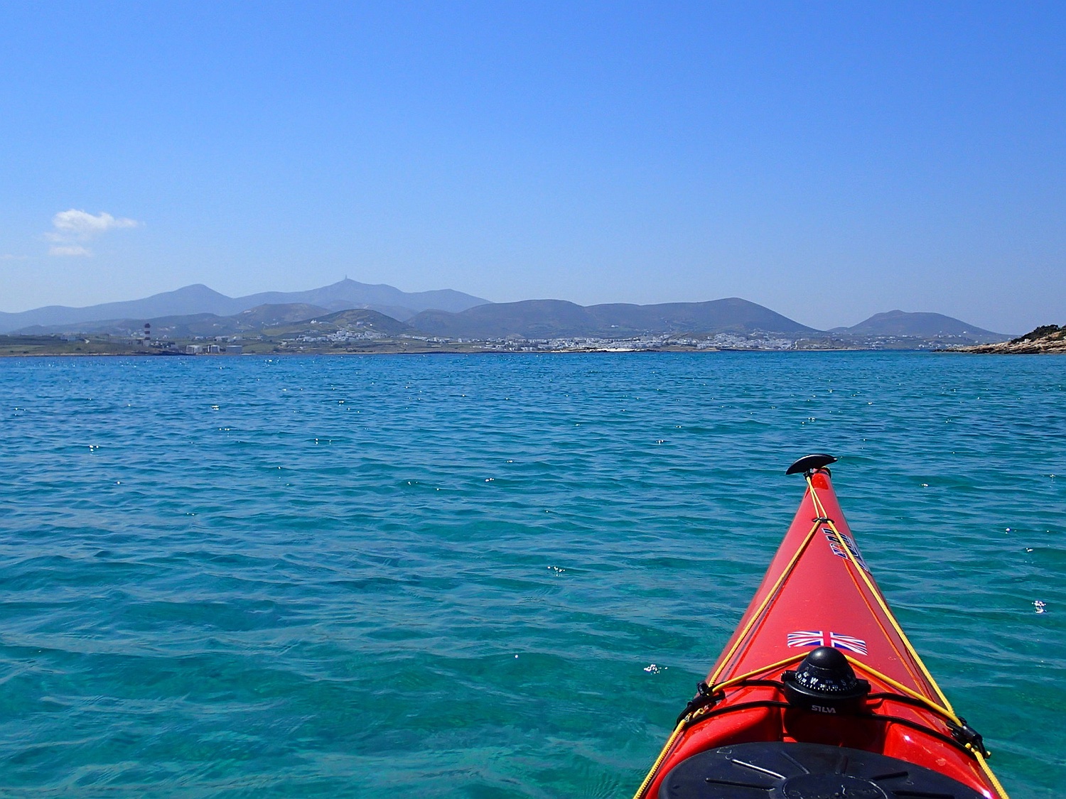
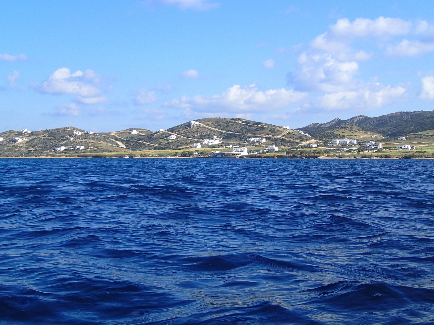
The next day, we cross the bay of Paroikia in time before the arrival of the Blue Star ferry and leave Paros at Agios Georgios heading west to Kato Fira, a flat island in the north of Antiparos.
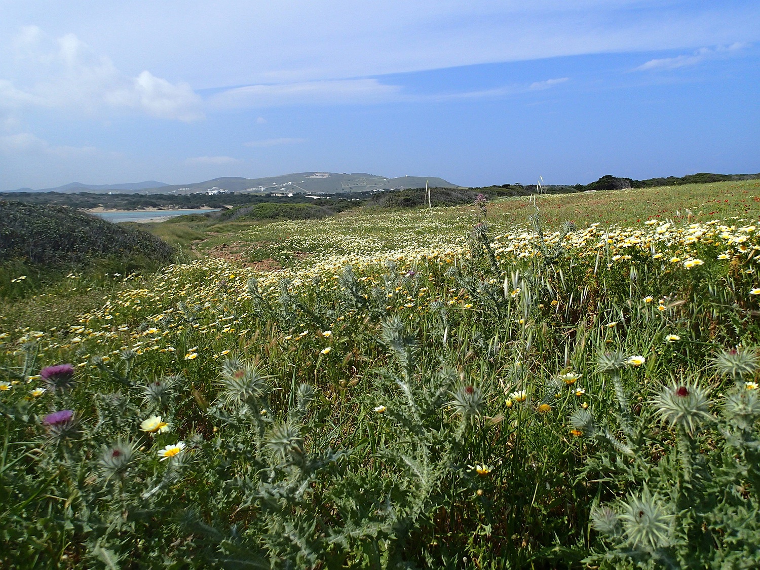
Meadows on the island of Kato Fira
Then we follow the west coast of Antiparos southwards. The wind blows at 3-4 Beaufort from the west / southwest, and the swell and waves increase the further south we go.
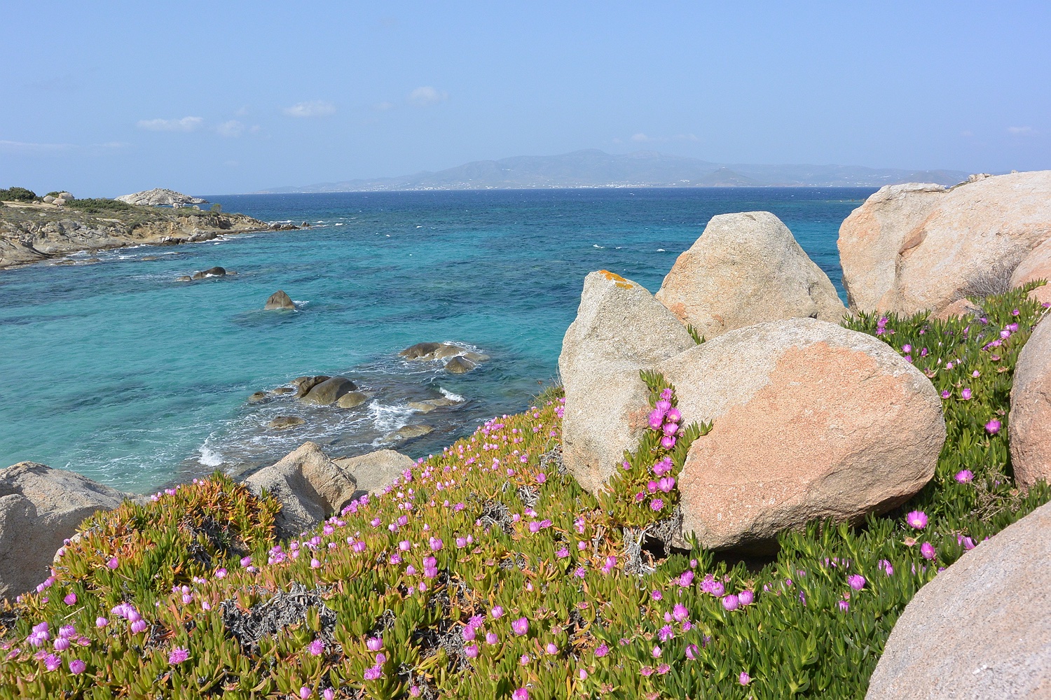
At Cape Trachilas in the southwest of Antiparos, we turn into the lagoon-like bay between Antiparos and the island of Dhespotiko and spend the night opposite the town of Agios Georgios (photo) on the beach of Panagia.
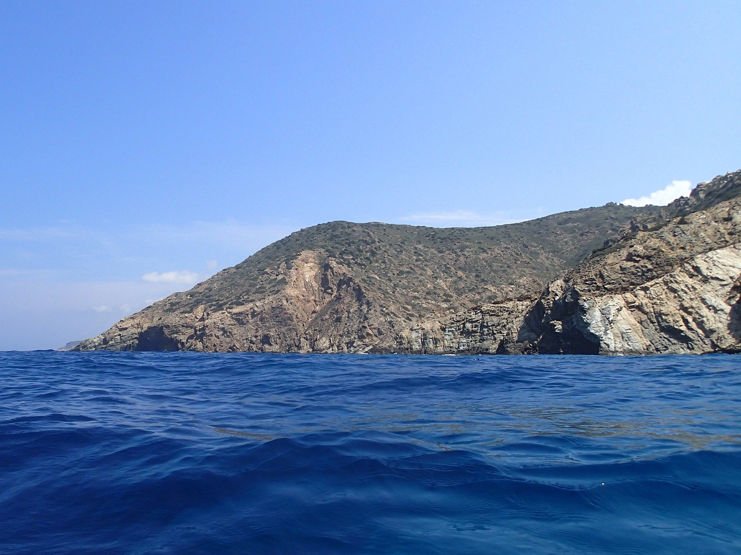
The island of Dhespotiko from the south
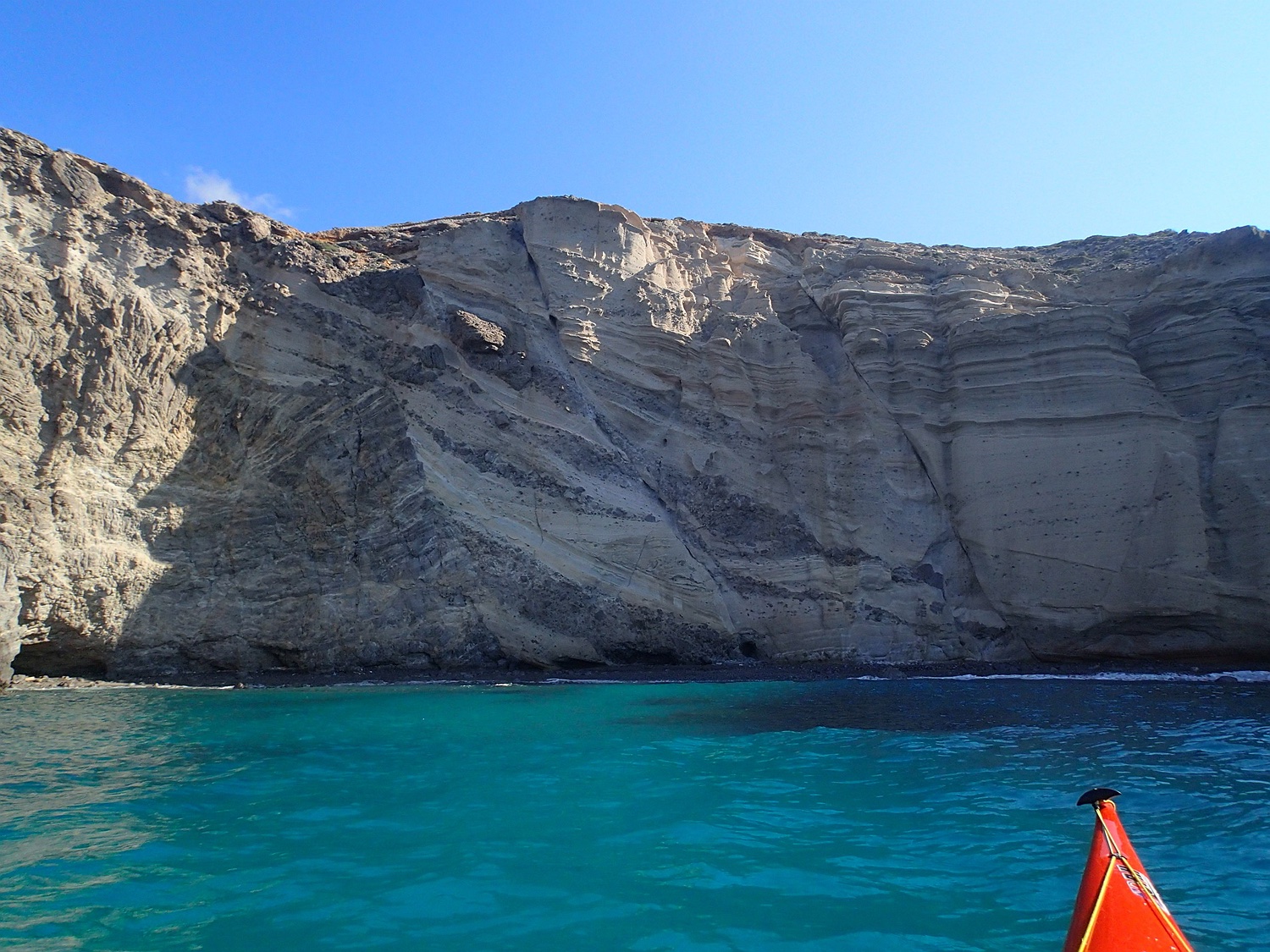
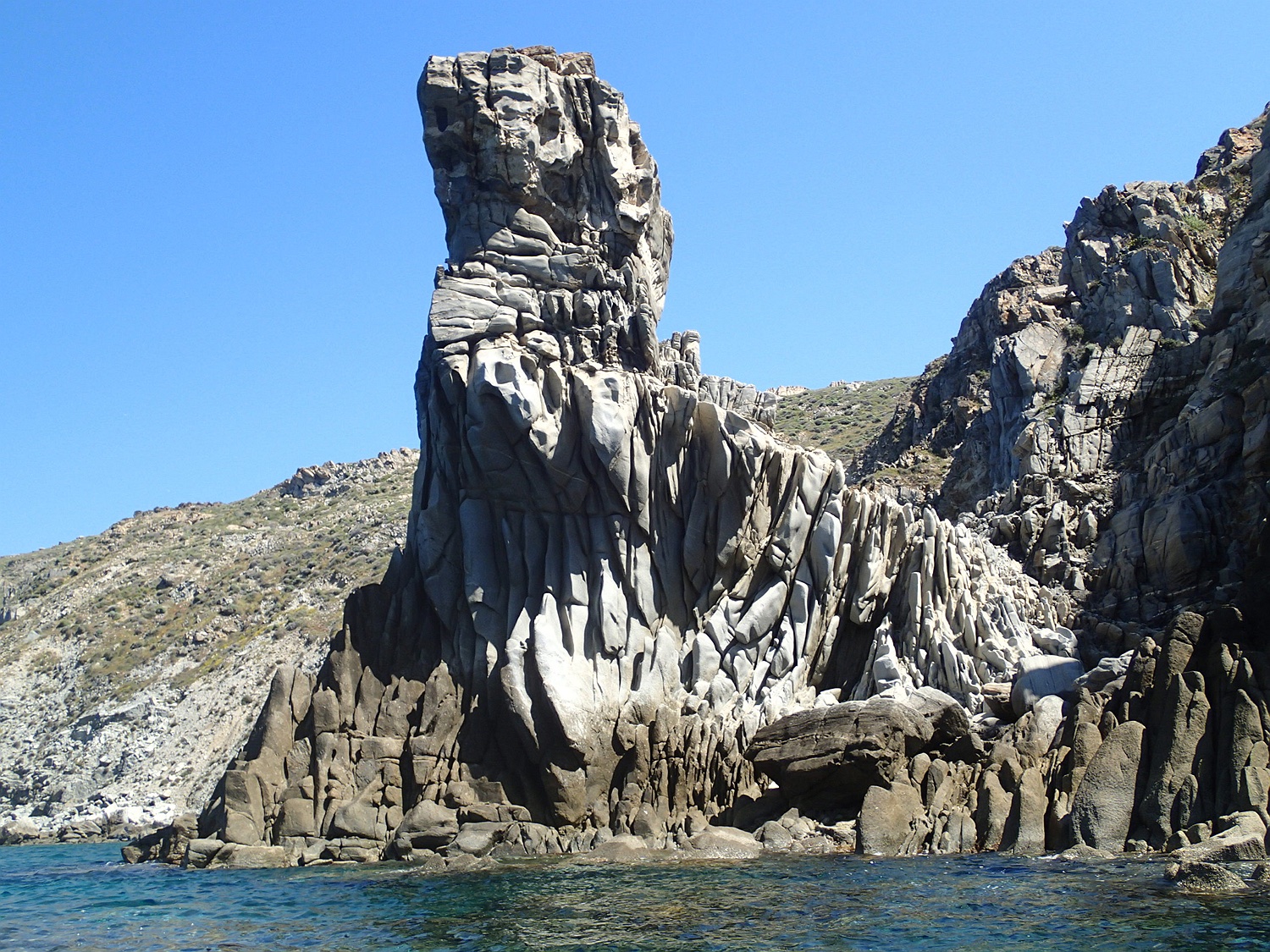
Cliffs at Cape Mastichias, SW Antiparos
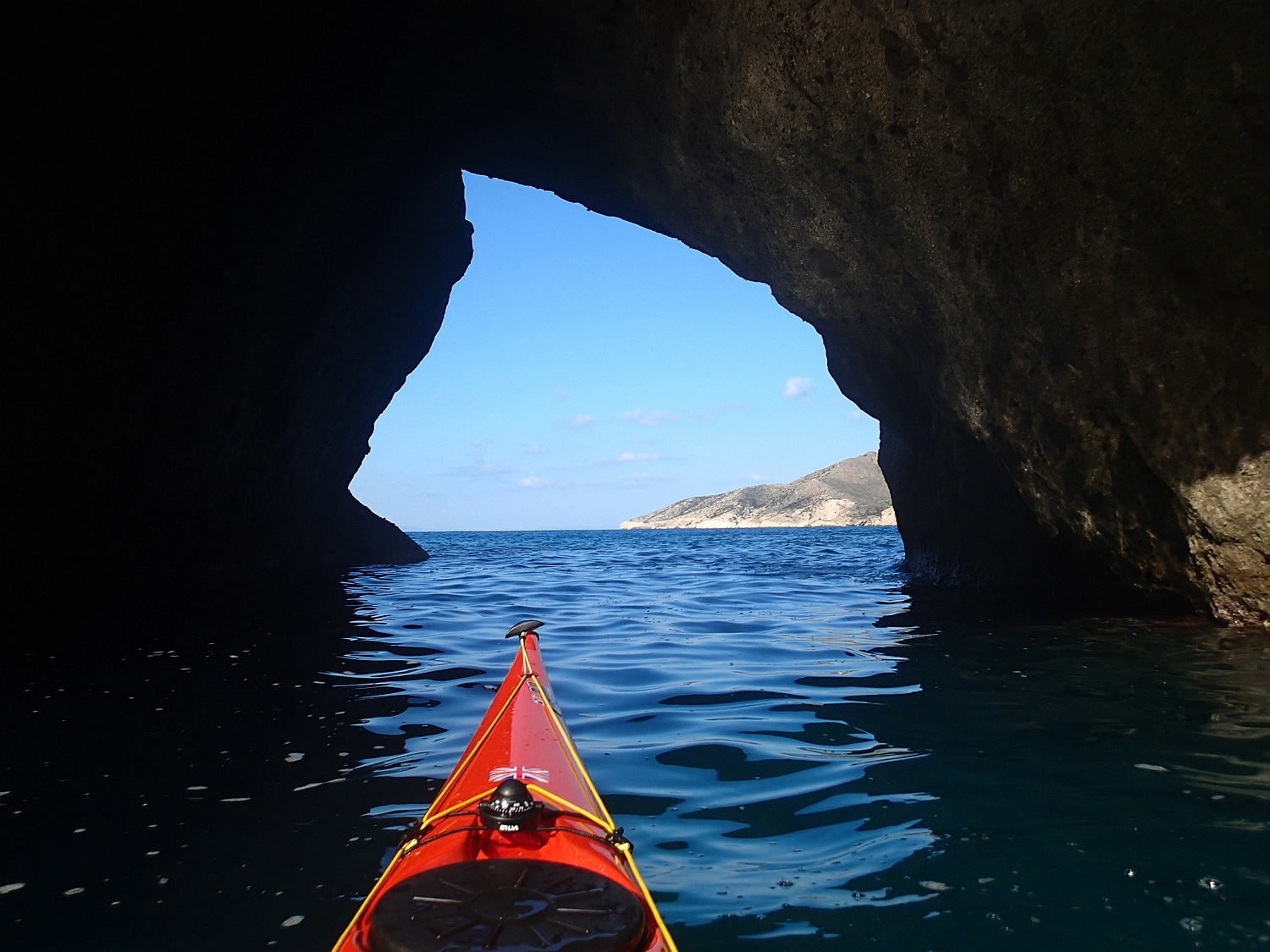
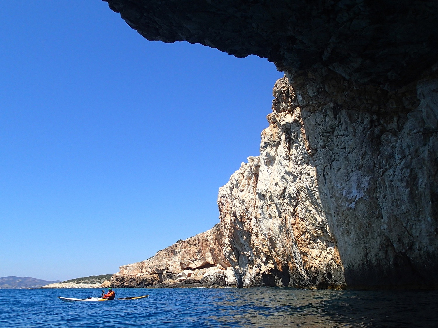
Rock passage in SW Antiparos
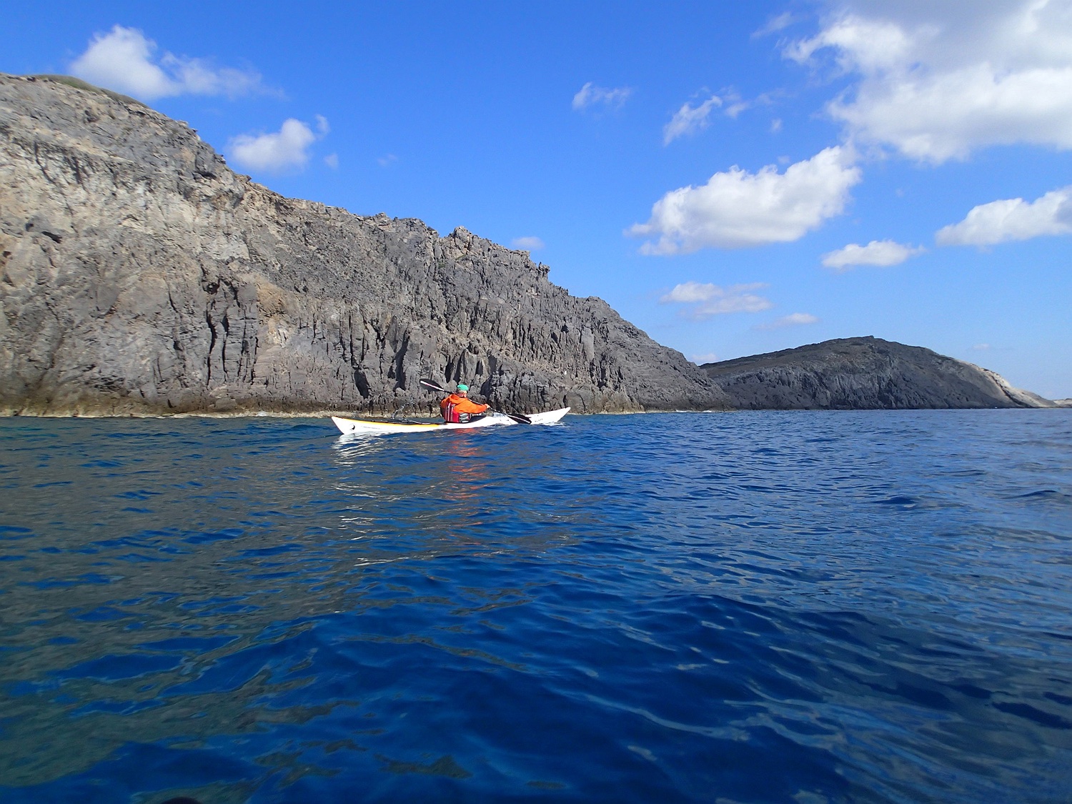
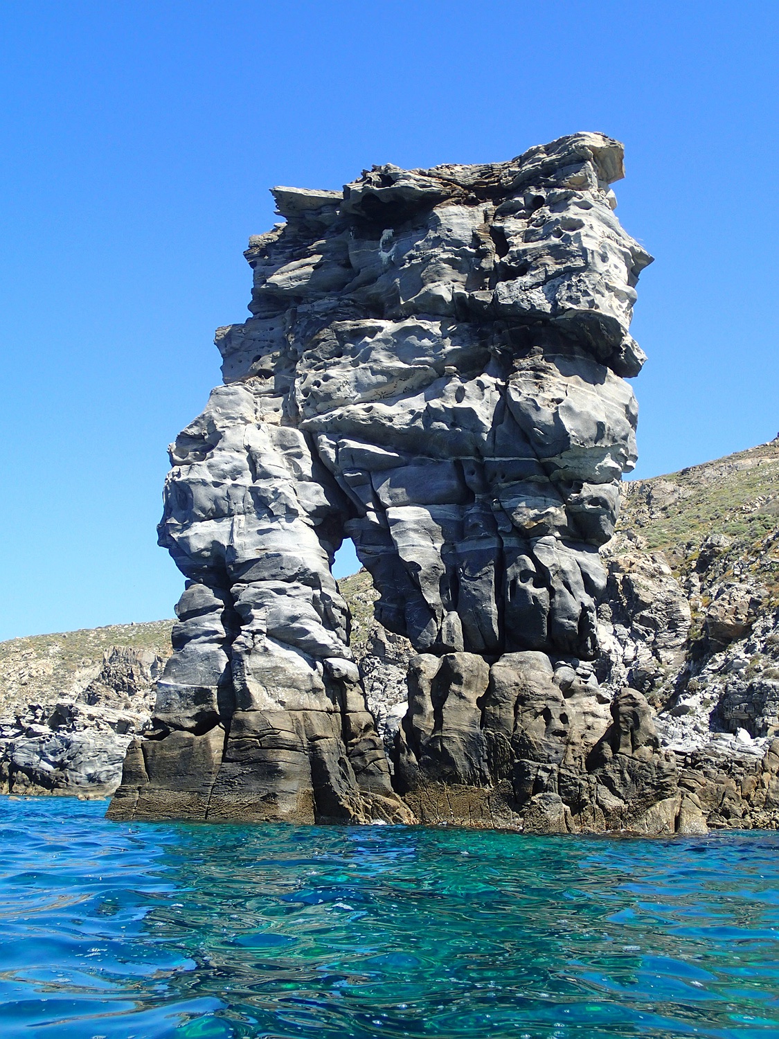
We follow the east coast of Antiparos back north to Cape Akako and cross westwards to the small Glarobi island in calm conditions. Then we follow the coast of Paros towards Cape Fanos, which also offers interesting rock formations, including a large collapsed cave with an open ceiling. Photo at Cape Skilos.
Rocks in southern Paros at Cape Fanos. After that, we paddle along many beaches on the densely populated east coast of Paros until we return to Naxos.
Seakayak-Center by Sarah (Switzerland)
back:
see also: